
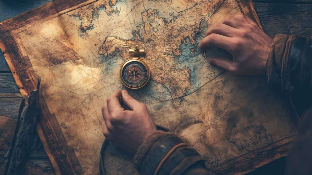
From ancient wayfinders to modern mission commanders, exploration has redrawn maps and expanded horizons.
This collection brings you balanced, accessible, and challenging trivia across eras and environments, oceans, deserts, ice, and space, with crisp answers that keep the momentum going.
Why Explorers & Exploration Makes Great Trivia
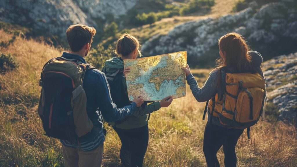
Exploration blends real-world adventure with scientific breakthroughs and cultural exchange.
The stories are packed with big personalities, pivotal firsts, and clever problem-solving, from star navigation to space robotics, so questions can range from friendly warm-ups to deep-cut details.
It also invites perspective.
Many “discoveries” built on Indigenous knowledge, teamwork, and technology, making it perfect for trivia that’s both fun and thoughtful.
Ancient Pathfinders & Early Navigation
Q: Who is credited with reaching Vinland around 1000 CE?
A: Leif Erikson.
Q: What site confirms a Norse presence in North America?
A: L’Anse aux Meadows, Newfoundland.
Q: Which seafarers are said by Herodotus to have circumnavigated Africa?
A: The Phoenicians.
Q: What did Polynesian wayfinders read to steer across the Pacific?
A: Star paths, ocean swells, birds, and clouds.
Q: Which invention revolutionized direction-finding at sea in China?
A: The magnetic compass.
Q: Under which dynasty did mariners widely use the sea compass?
A: The Song dynasty.
Q: What Micronesian tool maps swells and islands using sticks and shells?
A: A stick chart.
Q: Which admiral led early-1400s Chinese “treasure fleet” voyages?
A: Zheng He.
Q: What were medieval portolan charts especially good at depicting?
A: Accurate coasts with rhumb lines for sailing.
Q: Whose Geographia preserved coordinate-based mapping methods?
A: Claudius Ptolemy.
Q: What northern star’s altitude helped sailors estimate latitude?
A: Polaris.
Q: Which reported voyage for Pharaoh Necho II noted the sun “on the right”?
A: The Phoenician circumnavigation of Africa.
Age of Discovery: Seas & Empires
Q: Who rounded Africa’s southern tip in 1488?
A: Bartolomeu Dias.
Q: Who first reached India by sea via the Cape Route?
A: Vasco da Gama.
Q: What name did Columbus give to Guanahani in 1492?
A: San Salvador.
Q: Which ship completed the first circumnavigation of Earth?
A: Victoria.
Q: Who captained Victoria to finish that circumnavigation?
A: Juan Sebastián Elcano.
Q: Where was Ferdinand Magellan killed in 1521?
A: Mactan, in the Philippines.
Q: Who first saw the Pacific from the Americas in 1513?
A: Vasco Núñez de Balboa.
Q: Which English privateer circumnavigated aboard Golden Hind?
A: Francis Drake.
Q: Which explorer mapped Australia’s east coast in 1770?
A: James Cook.
Q: Which Portuguese captain made landfall in Brazil in 1500?
A: Pedro Álvares Cabral.
Q: Which naturalist sailed with Cook on Endeavour?
A: Joseph Banks.
Q: Which French expedition vanished after leaving Botany Bay, 1788?
A: La Pérouse’s expedition.

Polar Frontiers: Arctic & Antarctic
Q: Who led the first confirmed expedition to the South Pole?
A: Roald Amundsen (1911).
Q: Which British party died returning from the Pole in 1912?
A: Robert Falcon Scott’s Terra Nova expedition.
Q: What was Shackleton’s ship trapped and crushed by ice?
A: Endurance.
Q: Whose 1926 North Pole flight claim remains debated?
A: Richard E. Byrd’s.
Q: Which airship’s 1926 flight is widely accepted as the first verified North Pole overflight?
A: Norge (Amundsen, Ellsworth, Nobile).
Q: Who tested the Arctic drift theory aboard Fram, 1893–96?
A: Fridtjof Nansen.
Q: Who claimed reaching the North Pole in 1909, long accepted but contested?
A: Robert Peary.
Q: Which African American explorer was crucial on Peary’s team?
A: Matthew Henson.
Q: What ocean surrounds Antarctica?
A: The Southern Ocean.
Q: Which U.S. post-war operation sent a huge fleet to Antarctica?
A: Operation Highjump (1946–47).
Q: What name did Amundsen give his tented camp at the Pole?
A: Polheim.
Q: Which island did Shackleton cross to secure rescue in 1916?
A: South Georgia.
Overland Expeditions & Mapping the World
Q: Who led the Corps of Discovery, 1804–06?
A: Meriwether Lewis and William Clark.
Q: Who served them as interpreter and cultural broker?
A: Sacagawea.
Q: Which Venetian described Kublai Khan’s court in Il Milione?
A: Marco Polo.
Q: Which Moroccan traveler logged extraordinary journeys in the 14th century?
A: Ibn Battuta.
Q: Which Prussian naturalist reshaped biogeography after Latin American travels?
A: Alexander von Humboldt.
Q: Which pair quarreled over identifying the Nile’s source?
A: Richard Burton and John Hanning Speke.
Q: Who popularized the name “Victoria Falls” for Mosi-oa-Tunya?
A: David Livingstone.
Q: Who reportedly greeted Livingstone with “Dr. Livingstone, I presume?”
A: Henry Morton Stanley.
Q: Who led the first boat expedition through the Grand Canyon (1869)?
A: John Wesley Powell.
Q: Which Scottish-born explorer crossed Australia south to north in 1862?
A: John McDouall Stuart.
Q: Which Danish navigator, serving Russia, mapped the North Pacific coasts?
A: Vitus Bering.
Q: Which survey leader lent his name to the world’s highest mountain?
A: Sir George Everest.
Women Who Pushed the Map’s Edges
Q: Which aviator vanished during a 1937 circumnavigation attempt?
A: Amelia Earhart.
Q: Who was the first woman in space?
A: Valentina Tereshkova (1963).
Q: Who was the first woman to summit Everest?
A: Junko Tabei (1975).
Q: Which journalist circled the globe in 72 days, 1889–90?
A: Nellie Bly.
Q: Who wrote The Valleys of the Assassins after travels in Persia?
A: Freya Stark.
Q: Which archaeologist-diplomat mapped sites and helped found Iraq’s museum?
A: Gertrude Bell.
Q: Which French-Belgian explorer entered Lhasa in 1924?
A: Alexandra David-Néel.
Q: Who authored Travels in West Africa (1897), challenging stereotypes?
A: Mary Kingsley.
Q: Which oceanographer nicknamed “Her Deepness” led a 1970 habitat mission?
A: Sylvia Earle.
Q: Who is the first woman to reach both poles by foot and sled?
A: Ann Bancroft.
Q: Which trailblazing pilot was the first African American and Native American woman licensed?
A: Bessie Coleman.
Q: Which alpinist completed all 14 8,000-meter peaks without oxygen?
A: Gerlinde Kaltenbrunner.
Space: The Final Frontier
Q: Who was the first human to orbit Earth?
A: Yuri Gagarin.
Q: Who was the first person to step onto the Moon?
A: Neil Armstrong.
Q: What spacecraft carried Gagarin on his historic flight?
A: Vostok 1.
Q: Which NASA program rehearsed rendezvous and spacewalking before Apollo?
A: Gemini.
Q: Which probe flew by all four outer planets?
A: Voyager 2.
Q: What space telescope launched in 1990 transformed astronomy?
A: The Hubble Space Telescope.
Q: What was the first reusable crewed spacecraft?
A: The Space Shuttle.
Q: What was the first crewed space station placed in orbit?
A: Salyut 1 (1971).
Q: Which rover landed on Mars in 2012?
A: Curiosity.
Q: What helicopter achieved the first powered flight on another planet?
A: Ingenuity (Mars, 2021).
Q: Which spacecraft flew uncrewed around the Moon during Artemis I (2022)?
A: Orion.
Q: Which nation first achieved a soft landing near the lunar south polar region?
A: India (Chandrayaan-3, 2023).
Oceans & the Deep
Q: Who co-invented the Aqua-Lung and popularized scuba?
A: Jacques-Yves Cousteau (with Émile Gagnan).
Q: What bathyscaphe reached the Challenger Deep in 1960?
A: Trieste.
Q: Who were aboard Trieste for that descent?
A: Jacques Piccard and Don Walsh.
Q: Which submersible helped scientists find hydrothermal vents in 1977?
A: Alvin.
Q: Who led the 1985 discovery of the Titanic wreck?
A: Robert Ballard (with Jean-Louis Michel).
Q: What ROV explored the Titanic interior in 1986?
A: Jason Junior (Jason Jr).
Q: Who made a solo dive to the Challenger Deep in 2012?
A: James Cameron.
Q: Who led the Five Deeps Expedition in 2018–19?
A: Victor Vescovo.
Q: Which institution operates the submersible Alvin?
A: Woods Hole Oceanographic Institution.
Q: What term describes the lightless depths below ~1,000 meters?
A: The midnight (bathypelagic) zone.
Q: What trench contains Earth’s deepest known point?
A: The Mariana Trench.
Q: What does a bathymetric map depict?
A: Seafloor shape and depth contours.
Indigenous Knowledge & Local Guides
Q: Which Tahitian navigator guided Cook and drew Pacific charts?
A: Tupaia.
Q: What double-hulled canoe sparked Hawaiʻi’s wayfinding renaissance?
A: Hōkūleʻa.
Q: Which Micronesian master taught non-instrument navigation to Hōkūleʻa’s crew?
A: Mau Piailug.
Q: What Aboriginal method uses sung pathways for navigation?
A: Songlines.
Q: Which Sherpa co-led Everest’s first ascent in 1953?
A: Tenzing Norgay.
Q: Which explorer on Peary’s team spoke Inuktitut and credited Inughuit skills?
A: Matthew Henson.
Q: Which Indigenous woman aided the Corps of Discovery as interpreter?
A: Sacagawea.
Q: What local name for Victoria Falls means “The Smoke That Thunders”?
A: Mosi-oa-Tunya.
Q: Which East African guide aided Speke and Stanley across the interior?
A: Sidi Mubarak Bombay.
Q: What Arctic travel method uses dog teams and qamutik sleds?
A: Traditional dogsled transport.
Q: Which Hawaiian navigator leads the Polynesian Voyaging Society?
A: Nainoa Thompson.
Q: Which Himalayan community’s high-altitude expertise is essential to expeditions?
A: The Sherpa people.
Tools of the Trade: Navigation & Tech
Q: What instrument measures angles between a celestial object and the horizon?
A: The sextant.
Q: What timekeeping breakthrough solved the longitude problem at sea?
A: The marine chronometer.
Q: Who built the prize-winning H4 sea watch?
A: John Harrison.
Q: Which 1569 map projection shows straight rhumb lines for navigation?
A: The Mercator projection.
Q: What early charts featured compass roses and loxodromes?
A: Portolan charts.
Q: What is “dead reckoning”?
A: Estimating position from course, speed, and time.
Q: Which satellite system provides global positioning for civilian use?
A: GPS.
Q: Which device replaced the mariner’s astrolabe for precision?
A: The sextant.
Q: What simple tool measured depth before sonar?
A: The sounding lead and line.
Q: Which technique uses lasers to map terrain, even under canopy?
A: LiDAR.
Q: What term means carrying boats overland between waterways?
A: Portage.
Q: What mapping method builds 3D models from overlapping photos?
A: Photogrammetry.
Ellie Ewert is the founder and author of RandomTrivia.co, blending her passion for research with years of experience in content creation to deliver accurate, engaging, and well-sourced trivia. Dedicated to providing readers with trustworthy and entertaining facts, she applies meticulous fact-checking and SEO expertise to ensure every article meets the highest standards. Read more about our high standards in our Editorial Guidelines.